Gwynedd Archaeological
Trust Regional Historic Environment Record
Roman Fort, Brithdir
Primary Reference Number (PRN) : 1546 Trust : Gwynedd Community : Brithdir and Llanfachreth Unitary authority : Gwynedd NGR : SH77141890 Site Type (preferred type first) : ROMAN FORT Status : Snowdonia National Park
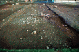
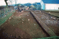
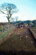
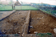
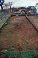
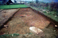
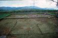
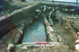
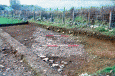
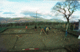
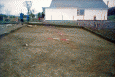
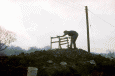
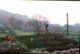
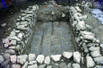
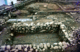
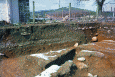
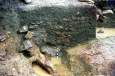
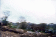
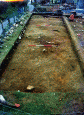
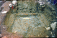
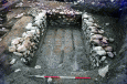
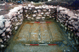
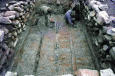
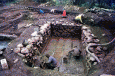
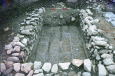
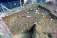
Summary : Brithdir Roman Fortlet is located on a square, level platform above the river Wnion, and less than half a kilometre east of Brithdir. The site is beside an old road which is thought to represent the line of the Roman road from Caer Gai, 27 kilometres to the North East. It provides good views along the Wnion valley, and also along the valley leading to Llanfachreth. Although the ramparts have been largely ploughed-out, excavations have revealed a multi-phased site that has its origins in the Iron Age.
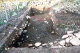
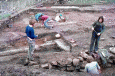
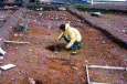
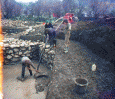
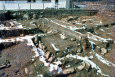
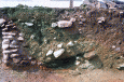
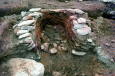
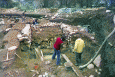
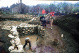
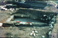
Description : Fortlet discovered in 1961 by St. Joseph. <1> <2>
According to Morris 1890 the field in which the fortlet is situated is called 'Cae'r Fynwent' (field of the graveyard). In support of this, he claims that in 1821 human bones were supposedly ploughed up here. <3>
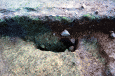
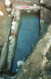
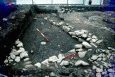
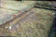
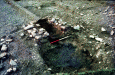
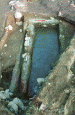
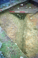
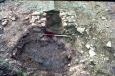
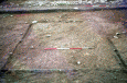
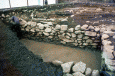
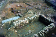
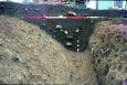
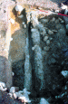
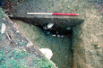
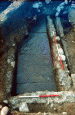
A fragment of the rampart on the south side as been removed by excavation. <4>
Overview of Roman occupation. <5>
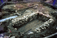
(Paper record includes a list and short description of the excavation plans No's 1 - 64)
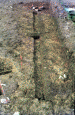
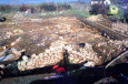
The military ditch did not appear in the new water mains trench and so it can be deduced that there is a break of at least 16m in the defences at this point. There appears to have been very wide and poorly defended gap in the defences, casting some doubt as to the effectiveness of the polygonal enclosure as a military feature. It is possible that this area of the defences was abandoned before completion or was a temporary annex to a more permanent fortification. (Hopewell & Riley, 1996)